Translate this page:
| Pincode | 209505 |
| Name | Raukari B.O |
| District | Farrukhabad |
| State | Uttar Pradesh |
| Status | Branch Office(Delivery) |
| Head Office | Fatehgarh H.O |
| Sub Office | Kampil S.O |
| Location | Farrukhabad Taluk of Farrukhabad District |
| Telephone No | Not Available |
| SPCC | KAIMGANJ SO-207502 |
| Department Info | Fatehgarh Division Kanpur Region Uttar Pradesh Circle |
| Address | |
| Services | |
| Indian Postal Code System Consists of Six digits. The first to digits represent the state, the second two digits represent the district and the Third two digits represents the Post Office.In this case the first two digits 20 represents the state Uttar Pradesh, the second two digits 95 represent the district Farrukhabad, and finally 05 represents the Post Office Raukari B.O. Thus the Zip Code of Raukari B.O, Farrukhabad, uttar pradesh is 209505 | |


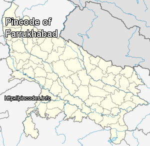
Farrukhabad is a city in the state of Uttar Pradesh in northern India.
Farrukhabad is situated between Lat. 26° 46' N & 27° 43' N and Long. 79° 7' E & 80° 2' E. The district is bounded by Badaun and Shahjahanpur on the north, Hardoi District on the east, Kannauj District on the south, and Etah and Mainpuri districts on the west. The Ganges River and Ramganga River are located to the east and the Kali River to the south.
As of 2011 India census, Farrukhabad had a population of 275,754 along with Fatehgarh. Males constitute 53% of the population and females 47%. Farrukhabad has an average literacy rate of 72%, higher than the national average of 59.5%: male literacy is 68%, and female literacy is 58%. In Farrukhabad-cum-Fatehgarh, 16% of the population is under 6 years of age. Sex ratio of Farrukhabad is 874 per 1000 male. Farrukhabad is dominated by the people of Yadav (Ahir) caste.
...More Info